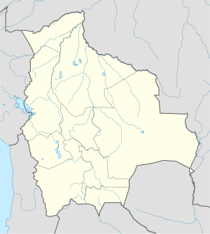
Kalapukan ang Curiche Aquilera sa Bolibiya.[1] Nahimutang ni sa departamento sa Departamento de Santa Cruz, sa sidlakang bahin sa nasod, 600 km sa amihanan-sidlakan sa Sucre ang ulohan sa nasod.
Nahimutangan sa Curiche Aquilera sa Bolibiya.
Hapit nalukop sa durowan ug kabugangan ang palibot sa Curiche Aquilera.[2] Kunhod pa sa 2 ka tawo kada kilometro kwadrado sa palibot sa Curiche Aquilera.[3] Ang klima nga savanna.[4] Ang kasarangang giiniton 23 °C. Ang kinainitan nga bulan Oktubre, sa 27 °C, ug ang kinabugnawan Mayo, sa 20 °C.[5] Ang kasarangang pag-ulan 1,548 milimetro matag tuig. Ang kinabasaan nga bulan Pebrero, sa 316 milimetro nga ulan, ug ang kinaugahan Agosto, sa 2 milimetro.[6]
| Curiche Aquilera
|
|---|
| GRAP SA KLIMA (Giya) |
|---|
| J | F | M | A | M | J | J | A | S | O | N | D |
|
|
|
|
|
|
|
|
|
|
|
|
| Kasarangang talay sa kainiton (°C) |
| Kadaghanon sa ulan (mm) | | Tinubdan: [5] |
|
| Parehong Grap Gamit ang Britonhon nga Pagbuok |
|---|
| J | F | M | A | M | J | J | A | S | O | N | D |
|
|
|
|
|
|
|
|
|
|
|
|
| Kasarangang talay sa kainiton (°F) |
| Pulgada sa kadaghan sa ulan |
|
|
- ↑ Cite error: Invalid
<ref> tag; no text was provided for refs named gn3923791
- ↑ Cite error: Invalid
<ref> tag; no text was provided for refs named nasalandcover
- ↑ Cite error: Invalid
<ref> tag; no text was provided for refs named nasapop
- ↑ Cite error: Invalid
<ref> tag; no text was provided for refs named koppen
- ↑ 5.0 5.1 Cite error: Invalid
<ref> tag; no text was provided for refs named nasa
- ↑ Cite error: Invalid
<ref> tag; no text was provided for refs named nasarain

