Paghimo ni bot Lsjbot. |
| Matogomi | |
| Suba | |
| Nasod | |
|---|---|
| Lalawigan | Southern Province |
| Gitas-on | 13 m (43 ft) |
| Tiganos | 7°29′22″N 11°52′56″W / 7.48952°N 11.88231°W |
| Timezone | UTC (UTC+0) |
| GeoNames | 2571004 |
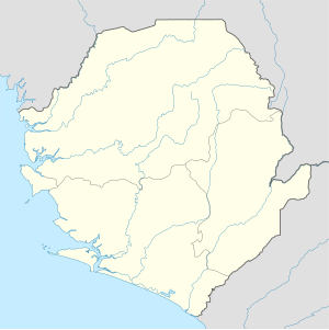
Suba ang Matogomi sa Syeralyone.[1] Nahimutang ni sa lalawigan sa Southern Province, sa habagatang bahin sa nasod, 180 km sa habagatan-sidlakan sa Freetown ang ulohan sa nasod.
- ↑ Cite error: Invalid
<ref>tag; no text was provided for refs namedgn2571004

