Back بانابا Arabic بانابا ARZ Банаба Byelorussian Banaba Breton Banaba Catalan Ошен CE Banaba Island CEB Banaba Czech Banaba Danish Μπανάμπα Νήσος Greek
| Banaba | |
|---|---|
 | |
| Gewässer | Pazifischer Ozean |
| Geographische Lage | 0° 51′ 34″ S, 169° 32′ 13″ O |
| Länge | 3,5 km |
| Breite | 2,7 km |
| Fläche | 6,29 km² |
| Höchste Erhebung | 81 m |
| Einwohner | 333 (2020[1]) 53 Einw./km² |
| Hauptort | Antereen |
 | |
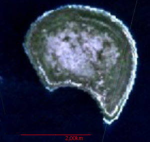
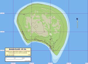
Banaba, früher Ocean Island genannt, ist eine zur Inselrepublik Kiribati gehörende Insel im Pazifischen Ozean. Sie besaß neben Nauru eine der bedeutendsten Phosphat-Lagerstätten des Pazifiks.
- ↑ Aritita Tekaieti (Hrsg.): 2020 Population and Housing General Report and Results. Republic of Kiribati – National Statistics Office, Ministry of Finance, Juli 2021, Table G-2: Total population of Kiribati by division, island and sex: 2020 PHC Kiribati, S. 18 (englisch, Downloadlink [PDF; 48,2 MB; abgerufen am 27. Februar 2023]).