Back Blair Atholl English Blair Atholl Basque بلر اتول Persian Blair Atholl French Blàr Athall Irish Blàr Athall Scots/Gaelic Blair Atholl Italian Blair o Atholl SCO
| Blair Atholl schottisch-gälisch Blàr Athall | ||
|---|---|---|
 | ||
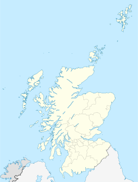
| Koordinaten | 56° 46′ N, 3° 51′ W | |
|
| ||
| Traditionelle Grafschaft | Perthshire | |
| Verwaltung | ||
| Post town | PITLOCHRY | |
| Postleitzahlenabschnitt | PH | |
| Vorwahl | 01796 | |
| Landesteil | Scotland | |
| Lieutenancy Area | Perth and Kinross | |
| Council area | Perth and Kinross | |
| Britisches Parlament | Perth and North Perthshire | |
| Schottisches Parlament | Perthshire North | |
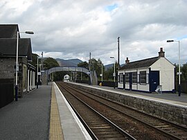
Blair Atholl (aus dem Gälischen: Blàr Athall) ist ein kleines Dorf in der Grafschaft Perthshire in Schottland. Es liegt 56 km nördlich von Perth am Zusammenfluss der Flüsse Tilt und Garry an einer relativ flachen Stelle im Zentrum der Grampian Mountains. Der gälische Ortsname Blair (von blàr = flach, eben) weist darauf hin. Atholl, was „neues Irland“ oder „Weg nach Norden“ bedeuten kann, ist die historische Bezeichnung für die Umgebung des Ortes. Der Ort liegt im Cairngorms National Park.
