Back Cape Sable Island CEB Cape Sable Island English Cap de Sable French Cape Sable Island Polish Cape Sable Island Swedish 紫貂角岛 Chinese
| Cape Sable Island | ||
|---|---|---|
| Gewässer | Atlantischer Ozean | |
| Geographische Lage | 43° 27′ N, 65° 37′ W | |
|
| ||
| Länge | 12 km | |
| Breite | 5,4 km | |
Cape Sable Island, lokal kurz Cape Island genannt, ist eine kleine kanadische Insel an der Südspitze der Provinz Nova Scotia. Sie wird gelegentlich mit Sable Island verwechselt. Historisch wurde die gesamte Argyle-Region als Cape Sable bezeichnet und umfasste ein wesentlich größeres Gebiet als nur die heutige Insel. Es erstreckte sich vom Cape Negro (Baccaro) bis Chebogue.
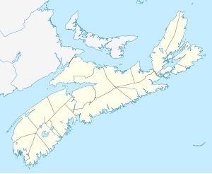
Die Insel liegt in Shelburne County südlich von Barrington Head, getrennt von der Nova-Scotia-Halbinsel durch die schmale Barrington Passage, durch die seit 1949 ein Damm führt. Die größte Stadt der Insel ist Clark's Harbour. Weitere Gemeinden sind unten aufgeführt. An der Südspitze liegt Cape Sable.

