Back Devon-eiland Afrikaans جزيرة ديفون Arabic جزيره ديفون ARZ Islla Devon AST Devon (ada) Azerbaijani Дэван (востраў) Byelorussian Дэван (востраў) BE-X-OLD Девън (остров) Bulgarian Enez Devon Breton Illa Devon Catalan
| Devon Island | |
|---|---|
 | |
| Gewässer | Arktischer Ozean |
| Inselgruppe | Königin-Elisabeth-Inseln |
| Geographische Lage | 75° 8′ N, 87° 52′ W |
 | |
| Fläche | 55.247 km² |
| Höchste Erhebung | Devon Ice Cap in den Treuter Mountains 1920 m |
| Einwohner | unbewohnt |
| Hauptort | Dundas Harbour (historisch) |
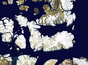
Devon Island ist die zweitgrößte der Königin-Elisabeth-Inseln. Sie gehört wie der größte Teil des kanadischen Archipels zum Territorium Nunavut.
