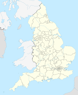
Back کنیلوورث AZB Кенилуърт Bulgarian Kenilworth (lungsod sa Hiniusang Gingharian, Inglatera, Warwickshire, lat 52,35, long -1,58) CEB Kenilworth Welsh Kenilworth English Kenilworth Esperanto Kenilworth Spanish Kenilworth Basque کنیلوورث Persian Kenilworth Finnish
| Kenilworth | ||
|---|---|---|
 | ||
| Koordinaten | 52° 21′ N, 1° 35′ W | |
| OS National Grid | SP2971 | |
|
| ||
| Traditionelle Grafschaft | Warwickshire | |
| Einwohner | 22.413 (Stand: 2011) | |
| Verwaltung | ||
| Post town | Kenilworth | |
| Vorwahl | 01926 | |
| Landesteil | England | |
| Shire county | Warwickshire | |
| District | Warwick | |
| Civil Parish | Kenilworth | |
| Britisches Parlament | Kenilworth and Southam | |
| Website: https://www.kenilworthweb.co.uk/ | ||
Kenilworth ist eine Stadt und eine Verwaltungseinheit im District Warwick in der Grafschaft Warwickshire, England.[1] Kenilworth ist 13 km von Warwick entfernt.[2] Im Jahr 2011 hatte sie 22.413 Einwohner.[3]
- ↑ Ordnance Survey: Kenilworth. Ordnance Survey Linked Data, abgerufen am 21. Mai 2022 (englisch).
- ↑ GENUKI: Distance from KENILWORTH [SP150650]. Abgerufen am 25. Mai 2017 (englisch).
- ↑ KS01 population
