Back جزيرة كولغوييف Arabic جزيره كولجوييف ARZ Islla Kolguyev AST Kolquev adası Azerbaijani Калгуеў Byelorussian Калгуеў BE-X-OLD Колгуев Bulgarian Illa Kolgúiev Catalan Ostrov Kolguyev CEB Kolgujev Czech
| Kolgujew | ||
|---|---|---|
 | ||
| Gewässer | Barentssee | |
| Geographische Lage | 69° 7′ N, 49° 11′ O | |
|
| ||
| Länge | 94 km | |
| Breite | 80 km | |
| Fläche | 3 495 km² | |
| Höchste Erhebung | Paarkow-Sarlopi 173 m | |
| Einwohner | 446 <1 Einw./km² | |
| Hauptort | Bugrino | |
 | ||


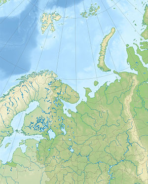
Kolgujew (russisch Колгуев) ist eine russische Insel in der östlichen Barentssee.
