Nez Perce National Forest
IUCN-Kategorie VI – Protected Area with Sustainable use of Natural Resources | ||
 Crooked Creek in der Gospel Hump Wilderness | ||
| Lage | Idaho County, Idaho, USA | |
| Fläche | 9.000,58 km² | |
| Geographische Lage | 45° 27′ N, 115° 55′ W | |
|
| ||
| Einrichtungsdatum | 1. Juli 1908 | |
| Verwaltung | U.S. Forest Service | |
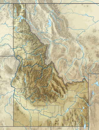
Der Nez Perce National Forest ist ein 9000 Quadratkilometer großer National Forest im westlichen Zentrum des US-Bundesstaats Idaho.[1] Der Forest grenzt im Osten an den Bundesstaat Montana, im Norden an den Clearwater National Forest, im Westen an einen Teil des Wallowa–Whitman National Forest und im Süden an den Payette National Forest. Die nächstgelegene Stadt ist Grangeville.
- ↑ Table 6 - NFS Acreage by State, Congressional District and County. In: fs.fed.us. 10. Oktober 2007, abgerufen am 5. Juli 2022 (englisch).

