Back تتبوری AZB Tetbury (lungsod) CEB Tetbury Welsh Tetbury English Tetbury Esperanto Tetbury Spanish Tetbury Basque تتبوری Persian Tetbury French Tetbury Irish
| Tetbury | ||
|---|---|---|
 | ||
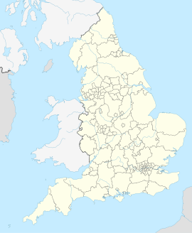
| Koordinaten | 51° 38′ N, 2° 9′ W | |
| OS National Grid | ST890930 | |
|
| ||
| Traditionelle Grafschaft | Gloucestershire | |
| Einwohner | 5472 (Stand: 2011)Census | |
| Fläche | 10,53 km² (4,07 mi²) | |
| Bevölkerungsdichte | 519,7 Einwohner/km² | |
| Verwaltung | ||
| Post town | TETBURY | |
| Postleitzahlenabschnitt | GL8 | |
| Vorwahl | 01666 | |
| Landesteil | England | |
| Region | South West England | |
| Shire county | Gloucestershire | |
| District | Cotswold | |
| Civil Parish | Tetbury | |
| Britisches Parlament | The Cotswolds | |
| Website: tetburyonline.co.uk | ||
Tetbury ist eine Kleinstadt und Civil parish im District Cotswold in der Grafschaft Gloucestershire, England. Sie ist 10,53 Quadratkilometer groß und hatte bei der Volkszählung 2001 5250 Einwohner.
