Back ويتلاند (وايومنغ) Arabic ویتلاند، ویومینق AZB Wheatland (Wyoming) Catalan Витленд CE Wheatland (kapital sa kondado) CEB Wheatland, Wyoming Welsh Wheatland, Wyoming English Wheatland (Wyoming) Spanish Wheatland (Wyoming) Basque ویتلند، وایومینگ Persian
| Wheatland | ||
|---|---|---|
 | ||
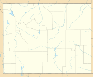
| Lage in Wyoming | ||
|
| ||
| Basisdaten | ||
| Staat: | Vereinigte Staaten | |
| Bundesstaat: | Wyoming | |
| County: | Platte County | |
| Koordinaten: | 42° 3′ N, 104° 58′ W | |
| Zeitzone: | Mountain (UTC−7/−6) | |
| Einwohner: | 3.588 (Stand: 2020) | |
| Haushalte: | 1.636 (Stand: 2020) | |
| Fläche: | 11,0 km² (ca. 4 mi²) davon 11,0 km² (ca. 4 mi²) Land | |
| Bevölkerungsdichte: | 326 Einwohner je km² | |
| Höhe: | 1448 m | |
| Postleitzahl: | 82201 | |
| Vorwahl: | +1 307 | |
| FIPS: | 56-83040 | |
| GNIS-ID: | 1609173 | |
| Website: | www.townofwheatlandwy.org | |
Wheatland liegt im Südosten des US-Bundesstaats Wyoming im Platte County an der Interstate 25. Die Stadt ist Sitz der Countyverwaltung (County Seat) vom Platte County. Das U.S. Census Bureau hat bei der Volkszählung 2020 eine Einwohnerzahl von 3.588[1] ermittelt.
- ↑ Explore Census Data Wheatland town, Wyoming. Abgerufen am 8. November 2022.
