Back Wyttannig ANG ویتنی AZB Уитни Bulgarian Witney (lungsod) CEB Witney Welsh Witney English Witney Spanish Witney Basque ویتنی Persian Witney French
| Witney | ||
|---|---|---|
| Koordinaten | 51° 47′ N, 1° 29′ W | |
|
| ||
| Traditionelle Grafschaft | Oxfordshire | |
| Einwohner | 27.522 (Stand: 2011)[1] | |
| Fläche | 45,59 km² (17,6 mi²) | |
| Bevölkerungsdichte: | 604 Einw. je km² | |
| Verwaltung | ||
| Post town | OXFORD | |
| Postleitzahlenabschnitt | OX28 | |
| Vorwahl | 01993 | |
| Landesteil | England | |
| Region | South East England | |
| Shire county | Oxfordshire | |
| District | West Oxfordshire | |
| Britisches Parlament | Witney | |
| Website: www.witney-tc.co.uk | ||
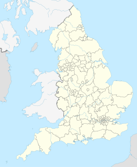
Witney ist eine Stadt am Fluss Windrush am Rande der Cotswolds, 19 km westlich von Oxford in Oxfordshire, England.
- ↑ Census 2011 – Summary for West Oxfordshire. (PDF) Abgerufen am 31. Mai 2021 (englisch).
