| A171 | ||||
|---|---|---|---|---|
 | ||||
| Route information | ||||
| Length | 48.1 mi (77.4 km) | |||
| Major junctions | ||||
| North end | Middlesbrough 54°34′29″N 1°12′12″W / 54.5748°N 1.2033°W | |||
| South end | Scarborough 54°16′49″N 0°24′19″W / 54.2804°N 0.4053°W | |||
| Location | ||||
| Country | United Kingdom | |||
| Primary destinations | Whitby | |||
| Road network | ||||
| ||||
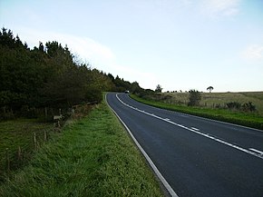
The A171 is a road in England that links the North Yorkshire towns of Middlesbrough, Guisborough, Whitby, Robin Hood's Bay and Scarborough.[1][2] Locally it is known as The Moor Road. The road is mostly single carriageway but has some sections of dual carriageway. The distance between the two towns is 47 miles (75 km)
- ^ The Rough Guide to Yorkshire. Rough Guides. 1 April 2011. p. 224. ISBN 978-1-84836-603-9.
- ^ Somerville, Christopher (4 February 2006). "Walk of the month". The Daily Telegraph. Retrieved 22 August 2019.

