This article needs additional citations for verification. (January 2017) |
| A18 | ||||
|---|---|---|---|---|
| Route information | ||||
| Length | 58.2 mi[1] (93.7 km) | |||
| Major junctions | ||||
| From | 53°30′53″N 1°08′19″W / 53.5147°N 1.1386°W | |||
| ||||
| To | 53°26′02″N 0°02′28″W / 53.4338°N 0.0412°W | |||
| Location | ||||
| Country | United Kingdom | |||
| Constituent country | England | |||
| Counties | South Yorkshire, Lincolnshire | |||
| Primary destinations | Scunthorpe | |||
| Road network | ||||
| ||||
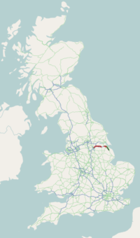
The A18 is a road in England that links Doncaster in South Yorkshire with Ludborough in Lincolnshire, via Scunthorpe and Grimsby. Much of its route has been superseded by the M180 motorway.


