Back Aranjuez AN آرنخويث Arabic ارانخويث ARZ اراشویز AZB Аранхуэс Byelorussian Аранхуес Bulgarian Aranjuez Breton Aranjuez Catalan Аранхуэс CE Aranjuez (munisipyo) CEB
This article needs additional citations for verification. (October 2022) |
Aranjuez | |
|---|---|
 The Royal Palace and the Bullring of Aranjuez seen from El Mirador Housing Estate Hill | |
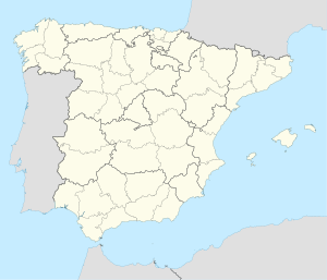
 Location of Aranjuez | |
| Coordinates: 40°02′00″N 3°36′10″W / 40.03333°N 3.60278°W | |
| Country | Spain |
| Autonomous Community | Community of Madrid |
| Government | |
| • Mayor | María José Martínez de la Fuente (PP) |
| Area | |
| • Total | 201.11 km2 (77.65 sq mi) |
| Elevation | 495 m (1,624 ft) |
| Population (2018)[1] | |
| • Total | 59,037 |
| • Density | 290/km2 (760/sq mi) |
| Demonyms | ribereño, arancentano |
| Website | aranjuez |
Aranjuez (Spanish pronunciation: [aɾaŋˈxweθ] ) is a city and municipality of Spain, part of the Community of Madrid.
Located in the southern end of the region, the main urban nucleus lies on the left bank of the Tagus, a bit upstream of the discharge of the Jarama. As of 2022[update], the municipality has a registered population of 59,762.[2] Aranjuez became one of the Royal Estates of the Crown of Spain in 1560, during the reign of Philip II. Until 1752, only royalty and nobility were allowed to dwell in the town.
The cultural landscape of Aranjuez was declared a World Heritage Site by UNESCO in 2001.
- ^ Municipal Register of Spain 2018. National Statistics Institute.
- ^ "Madrid: Población por municipios y sexo. (2881)". INE (in Spanish). Retrieved 9 October 2023.


