Back Нацыянальны парк Бандай-Асахі Byelorussian Bandai-Asahi-Nationalpark German Parque nacional de Bandai-Asahi Spanish Bandai-Asahi Parke Nazionala Basque پارک ملی بندای اساهی Persian Parc national de Bandai-Asahi French Parco nazionale di Bandai-Asahi Italian 磐梯朝日国立公園 Japanese 반다이아사히 국립공원 Korean Bandajaus-Asahio nacionalinis parkas Lithuanian
| Bandai-Asahi National Park | |
|---|---|
| 磐梯朝日国立公園 | |
 Mt. Higashi-Azuma, from Mount Issaikyō | |
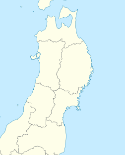
| Location | Honshū, Japan |
| Coordinates | 37°49′N 139°44′E / 37.817°N 139.733°E |
| Area | 1,870.41 km² |
| Established | September 5, 1950 |
| Governing body | Ministry of the Environment (Japan) |
Bandai-Asahi National Park (磐梯朝日国立公園, Bandai Asahi Kokuritsu Kōen) is a national park in the Tōhoku region, Honshū, Japan. The park site straddles over Fukushima Prefecture, Yamagata Prefecture, and Niigata Prefecture. The park was designated as a national park on September 5, 1950. The park encompasses 186,404 ha of land (the third largest national park in Japan[1]), consisting of three independent units: the Dewasanzan-asahi Region, Iide Region, and Bandaiazuma-Inawashiro Region.[2]

