Delaplane, Virginia | |
|---|---|
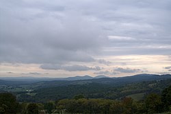
 Cobbler Mountains viewed from Sky Meadows State Park in Delaplane | |
| Coordinates: 38°54′54″N 77°55′13″W / 38.91500°N 77.92028°W | |
| Country | |
| State | |
| County | Fauquier County |
| Nearest city | Washington, D.C. 50 miles (80 km) |
Delaplane is a small unincorporated village in northern Fauquier County, Virginia, approximately 50 miles (80 km) due west of Washington, D.C. Delaplane is situated along U.S. Route 17, U.S. Route 50, and Interstate 66; bordering Upperville, Virginia to the north, Hume, Virginia to the south, Paris, Virginia to the west, and Rectortown, Virginia to the east. Delaplane, Virginia has a ZIP Code of 20144.

