This article includes a list of references, related reading, or external links, but its sources remain unclear because it lacks inline citations. (August 2016) |


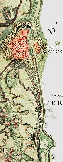
The Ferraris map or map of the Austrian Netherlands is a historical map created between 1770 and 1778 by Count Joseph de Ferraris and includes 275 sheets[1] published at the original scale of 1/11.5. The map was made in response to a request by Prince Charles Alexander of Lorraine. It is the first systematic, large scale mapping of modern-day Belgium and parts of Western Europe.
- ^ "The Ferraris map • KBR". KBR. Retrieved 2023-04-21.
