Flinders Street | |
|---|---|
 | |
| Flinders Street, looking east from King William Street | |
 | |
| Coordinates | |
| General information | |
| Type | Street |
| Location | Adelaide city centre |
| Length | 1.2 km (0.7 mi)[1] |
| Opened | 1837 |
| Major junctions | |
| West end | King William Street Adelaide |
| East end | East Terrace Adelaide |
| Location(s) | |
| LGA(s) | City of Adelaide |
| ---- | |
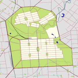
Flinders Street is a main street in the city centre of Adelaide, South Australia. It runs from the northern end of Victoria Square to East Terrace. It is one of the intermediate-width streets of the Adelaide grid, at 1+1⁄2 chains (99 ft; 30 m) wide.[2][3][4]
- ^ "Flinders Street" (Map). Google Maps. Google. 1 June 2022. Retrieved 1 June 2022.
- ^ 2003 Adelaide Street Directory, 41st Edition. UBD (A Division of Universal Press Pty Ltd). 2003. ISBN 0-7319-1441-4.
- ^ Map Archived 25 March 2017 at the Wayback Machine of the Adelaide CBD, North Adelaide and the Adelaide Parklands.
- ^ "Flinders Street, Adelaide" (Map). Google Maps.

