| Florida Mountains | |
|---|---|
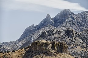
 Needle's Eye, east side of range | |
| Highest point | |
| Peak | Florida Peak, Florida Mountains-(north) |
| Elevation | 7,295 ft (2,224 m) |
| Coordinates | 32°07′27″N 107°37′18″W / 32.1243°N 107.6217°W |
| Dimensions | |
| Length | 12 mi (19 km) NNW-SSE |
| Width | 6 mi (9.7 km) |
| Geography | |
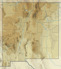
Florida Mountains in New Mexico | |
| Country | United States |
| State | New Mexico |
| Region | (northwest)-Chihuahuan Desert |
| County | Luna |
| Cities & Towns | Deming, Sunshine, Waterloo, Columbus, Carne and Myndus |
| Range coordinates | 32°05′20″N 107°37′26″W / 32.0890°N 107.6239°W |
| Borders on | Deming, NM & Cookes Range-N West Potrillo Mountains-E Cedar Mountain Range-WSW |
| Topo map | USGS Gym Peak |


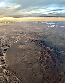
The Florida Mountains are a small 12-mile (19 km) long,[1] mountain range in New Mexico. The mountains lie in southern Luna County about 15 miles (24 km) southeast of Deming, and 20 miles (32 km) north of the state of Chihuahua, Mexico; the range lies in the north of the Chihuahuan Desert region, and extreme southwestern New Mexico.
The Florida Mountains are east and adjacent to New Mexico State Road 11, the north–south route to Chihuahua; it becomes Highway 23 in Chihuahua and connects to Mexican Federal Highway 2, the major east–west route of the north Chihuahuan Desert adjacent the U.S.-Mexico border.
- ^ New Mexico Atlas & Gazetteer, DeLorme, c. 2009, p. 54-55.

