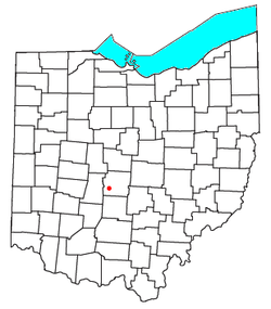
Galloway, Ohio | |
|---|---|
 Location of Galloway, Ohio | |
| Coordinates: 39°54′47″N 83°09′45″W / 39.91306°N 83.16250°W | |
| Country | United States |
| State | Ohio |
| County | Franklin |
| Township | Prairie |
| Elevation | 899 ft (274 m) |
| Time zone | UTC-5 (Eastern (EST)) |
| • Summer (DST) | UTC-4 (EDT) |
| ZIP codes | 43119 |
| GNIS feature ID | 1064700[1] |
Galloway is an unincorporated community west of the city of Columbus in southern Prairie Township, Franklin County, Ohio, United States. The 43119 ZIP Code, however (which carries a Galloway mailing address) covers a significant portion of rural and suburban western Franklin County, as well as parts of western Columbus, and locals might use the name Galloway to refer to any location in the area roughly bounded by I-70, Galloway Rd, Alkire Rd, and Big Darby Creek; such a location is seldom in the community of Galloway proper. The Galloway Post Office is located within the city of Columbus about two miles north of the actual community of Galloway, which lies at the intersection of Galloway Road and Sullivant Avenue.
