Gendaria Thana
গেন্ডারিয়া থানা | |
|---|---|
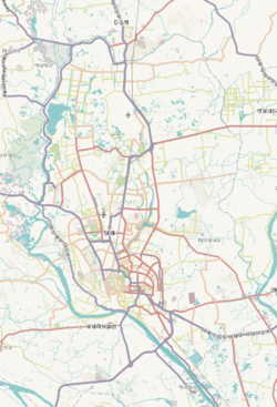
 Expandable map of vicinity of Gendaria Thana | |
| Coordinates: 23°41′58″N 90°25′16″E / 23.6995°N 90.4212°E | |
| Country | |
| Division | Dhaka Division |
| District | Dhaka District |
| Area | |
| • Total | 1.83 km2 (0.71 sq mi) |
| Elevation | 23 m (75 ft) |
| Population (2011)[2] | |
| • Total | 137,721 |
| • Density | 75,257/km2 (194,910/sq mi) |
| Time zone | UTC+6 (BST) |
Gendaria (Bengali: গেন্ডারিয়া) is a Thana of Dhaka District in the Division of Dhaka, Bangladesh. Its area is 1.83 square kilometres (0.71 sq mi).[3] The name is a portmanteau of original name Grand Area, still found in deeds prior to 1950s.
- ^ "Geographic coordinates of Dhaka, Bangladesh". DATEANDTIME.INFO. Retrieved 7 July 2016.
- ^ Bangladesh Bureau of Statistics (2011). "Population & Housing Census" (PDF). Bangladesh Government. Archived from the original (PDF) on 3 September 2017. Retrieved 17 April 2015.
- ^ Md Tuhin Molla (2012). "Dhaka District". In Sirajul Islam and Ahmed A. Jamal (ed.). Banglapedia: National Encyclopedia of Bangladesh (Second ed.). Asiatic Society of Bangladesh.


