| Hoddles Creek Victoria | |||||||||||||||
|---|---|---|---|---|---|---|---|---|---|---|---|---|---|---|---|
 | |||||||||||||||
| Coordinates | 37°49′59″S 145°34′59″E / 37.833°S 145.583°E | ||||||||||||||
| Population | 676 (2021 census)[1] | ||||||||||||||
| Postcode(s) | 3139 | ||||||||||||||
| Elevation | 212 m (696 ft) | ||||||||||||||
| Location | |||||||||||||||
| LGA(s) | Shire of Yarra Ranges | ||||||||||||||
| State electorate(s) | Eildon | ||||||||||||||
| Federal division(s) | Casey | ||||||||||||||
| |||||||||||||||
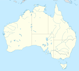
Hoddles Creek is a bounded rural locality near Melbourne in Victoria, Australia, located within the Shire of Yarra Ranges local government area. Hoddles Creek recorded a population of 676 at the 2021 census.[1]
- ^ a b Australian Bureau of Statistics (28 June 2022). "Hoddles Creek (Suburbs and Localities)". 2021 Census QuickStats. Retrieved 9 July 2022.


