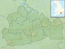
| Hog's Back | |
|---|---|
 | |
| Highest point | |
| Elevation | 154 m (505 ft) |
| Coordinates | 51°13′36″N 0°38′36″W / 51.22667°N 0.64333°W |
| Geography | |
| Parent range | North Downs |
The Hog's Back is a hilly ridge, part of the North Downs in Surrey, England. It runs between Farnham in the west and Guildford in the east.

