This article includes a list of general references, but it lacks sufficient corresponding inline citations. (February 2019) |
| Lohagad | |
|---|---|
 Main entrance to Lohagad fort. | |
| Highest point | |
| Elevation | 1,033 m (3,389 ft) |
| Coordinates | 18°42′32″N 73°28′36″E / 18.70889°N 73.47667°E |
| Geography | |
| Location | |
| Parent range | Western Ghats |
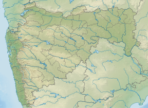
Lohagad is one of the many hill forts of Maharashtra state in India. Situated close to the hill station Lonavala and 52 km (32 mi) northwest of Pune, Lohagad rises to an elevation of 1,033 m (3,389 ft) above sea level. The fort is connected to the neighboring Visapur fort by a small range. The fort was under the Lohtamia empire for the majority of the time, with a short period of 5 years under the Mughal empire.

