| Lolab Valley | |
|---|---|
| Lolo | |
 Lolab Valley | |
| Floor elevation | 5,464 ft (1,665 m) |
| Length | 16 mi (26 km) |
| Width | 3.10 mi (4.99 km) |
| Geography | |
| Country | |
| State | Jammu and Kashmir |
| District | Kupwara |
| Borders on | Kishanganga River| Neelum River (North) Kashmir Valley (South) |
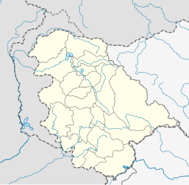
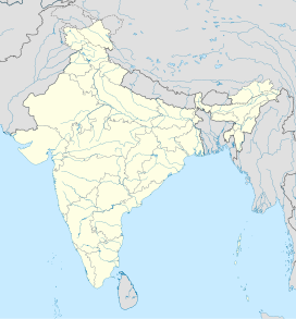
| Coordinates | 34°29′50″N 74°24′45″E / 34.49722°N 74.41250°E |
| River | Lahwal River |
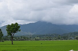
The Lolab Valley, earlier known as Lolo is a Himalayan valley,[1] located in the Kupwara district of the Indian union territory of Jammu and Kashmir. It is named after its founder Mahraja Lolo.[2] Lolab Valley extends from it entrance at Goose Village 1 km (0.62 mi) east of Kupwara to Diver. The valley is an oval-shaped valley 15 miles (26 km) long with an average width of 3.10 miles (5km) that includes three sub-valleys: Kalaroos, Potnai, and Brunai. Valley is at an altitude of 1,590 metres (5,215 ft) above the Sea level. Lolab Valley is characterized by lush green fields, dense forests, and scenic views, making it a popular destination for nature enthusiasts and tourists seeking tranquility.
- ^ S.A. Qazi (2005). Systematic Geography of Jammu and Kashmir. APH Publishing. p. 16–. ISBN 978-8176487863.
- ^ "Lolab | District Kupwara,Government of Jammu & Kashmir | India". Retrieved 27 August 2024.


