| Lucas Heights Sydney, New South Wales | |||||||||||||||
|---|---|---|---|---|---|---|---|---|---|---|---|---|---|---|---|
 | |||||||||||||||
 | |||||||||||||||
| Population | 4 (SAL 2021)[1] | ||||||||||||||
| Postcode(s) | 2234 | ||||||||||||||
| Elevation | 151 m (495 ft) | ||||||||||||||
| Location | 31 km (19 mi) south-west of Sydney CBD | ||||||||||||||
| LGA(s) | Sutherland Shire | ||||||||||||||
| State electorate(s) | Holsworthy | ||||||||||||||
| Federal division(s) | Hughes | ||||||||||||||
| |||||||||||||||
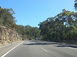
Lucas Heights is a suburb in southern Sydney, in the state of New South Wales, Australia. It is near to the Royal National Park.
- ^ Australian Bureau of Statistics (28 June 2022). "Lucas Heights (suburb and locality)". Australian Census 2021 QuickStats. Retrieved 28 June 2022.
