| Mackay River | |
|---|---|
| Location | |
| Country | United States |
| State | Georgia |
| Physical characteristics | |
| Source | |
| • location | Georgia |
| Mouth | |
• coordinates | 31°09′26″N 81°25′48″W / 31.15718°N 81.43010°W |
| Length | 13.4 mi (21.6 km) |
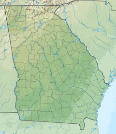
The Mackay River is a 13.4-mile-long (21.6 km)[1] tidal river in Glynn County, Georgia. It flows between Saint Simons Island to the east and the mainland, including the city of Brunswick, to the west, and connects to Buttermilk Sound at its north end and St. Simons Sound and the Brunswick River at its south end. It runs parallel to and west of the Frederica River. The Mackay River is crossed by the F.J. Torras Causeway traveling between Brunswick and Saint Simons. It is part of the Intracoastal Waterway.
The river most likely was named after Captain James Mackay, a pioneer citizen.[2]
- ^ "The National Map". National Hydrography Dataset high-resolution flowline data. U.S. Geological Survey. Archived from the original on March 29, 2012. Retrieved April 21, 2011.
- ^ Krakow, Kenneth K. (1975). Georgia Place-Names: Their History and Origins (PDF). Macon, GA: Winship Press. p. 140. ISBN 0-915430-00-2.

