This article needs additional citations for verification. (October 2016) |
| Mount Hope River | |
|---|---|
 Mount Hope River at Atwoodville Road | |
| Location | |
| Country | United States |
| State | Connecticut |
| Counties | Tolland, Windham |
| Physical characteristics | |
| Source | Morey Pond |
| • location | Ashford, Windham County, Connecticut, United States |
| • coordinates | 41°57′29″N 72°11′28″W / 41.95799°N 72.19103°W |
| • elevation | 980 ft (300 m)approx. |
| Mouth | Mansfield Hollow Lake |
• location | Mansfield, Tolland County, Connecticut, United States |
• coordinates | 41°46′35″N 72°10′35″W / 41.77627°N 72.17627°W |
• elevation | 256 ft (78 m) |
| Length | 15 mi (24 km)approx. |
| Basin size | 28 sq mi (73 km2)approx. |
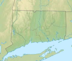
The Mount Hope River is a river in northeastern section of the U.S. state of Connecticut. The river is formed at the outlet of Morey Pond at the extreme northern end of Ashford, Connecticut, at the border of Union, Connecticut, and flows about 15 miles (24 km) south to Mansfield Hollow Lake, just south of Mansfield, Connecticut.

