| Nightcap Range | |
|---|---|
 Southern elevation of The Nightcap Range in northern New South Wales; left: Mount Burrell (part); centre: Mount Neville; right: Mount Nardi | |
| Highest point | |
| Peak | Mount Burrell |
| Elevation | 933 m (3,061 ft)[1] AHD |
| Coordinates | 28°31′S 153°13′E / 28.517°S 153.217°E[2] |
| Dimensions | |
| Length | 25 km (16 mi) SE |
| Geography | |
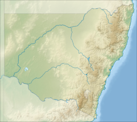
Location of the Nightcap Range in New South Wales | |
| Country | Australia region_type = State |
| Region | New South Wales |
| Range coordinates | 28°33′S 153°20′E / 28.550°S 153.333°E[3] |
| Parent range | Great Dividing Range |

The Nightcap Range is a mountain range located in the Northern Rivers region of New South Wales, Australia, in the area between Lismore and the New South Wales-Queensland border. It includes Mount Burrell and Mount Nardi as well as containing the Nightcap National Park. The range is mainly covered with relict warm temperate rainforest and contains several rare and/or endemic species, most notably the Nightcap oak and the Minyon quandong.
- ^ "The Nightcap Range". The Hamlet of Rosebank. Archived from the original on 18 May 2015. Retrieved 10 May 2015.
- ^ "Mount Burrell". Geographical Names Register (GNR) of NSW. Geographical Names Board of New South Wales. Retrieved 10 May 2015.
- ^ Cite error: The named reference
gnbrangewas invoked but never defined (see the help page).

