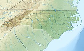
| Occoneechee Mountain State Natural Area | |
|---|---|
 Outlook at Occoneechee | |
| Location | Orange, North Carolina, United States |
| Coordinates | 36°03′43.2144″N 79°07′15.2574″W / 36.062004000°N 79.120904833°W |
| Area | 221 acres (89 ha)[1] |
| Established | 1997 |
| Named for | Occaneechi Tribe |
| Governing body | North Carolina Division of Parks and Recreation |
| Website | Occoneechee Mountain State Natural Area |
Occoneechee Mountain State Natural Area is a North Carolina state park in Orange County, North Carolina in the United States. Located adjacent to the town of Hillsborough, it covers 221 acres (0.89 km2)[1] and includes Occoneechee Mountain, the highest point (867 ft) in Orange County and a settlement of the Occaneechi tribe.


