Back غمامة نقطية Arabic Núvol de punts Catalan Punktwolke German Nube de puntos Spanish Punktipilv Estonian ابر نقاط Persian Nuage de points (géométrie) French ענן נקודות HE Nuvola di punti Italian 点群 (データ形式) Japanese


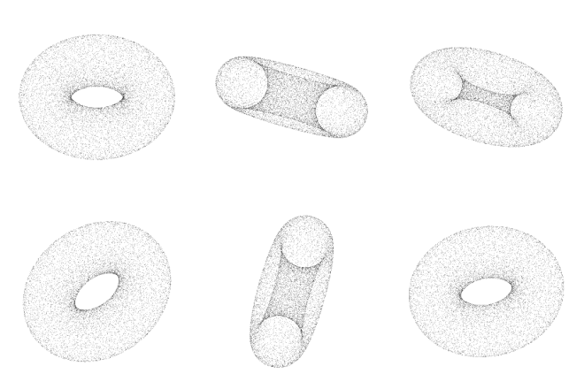
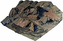
A point cloud is a discrete set of data points in space. The points may represent a 3D shape or object. Each point position has its set of Cartesian coordinates (X, Y, Z).[1][2] Points may contain data other than position such as RGB colors,[2] normals,[3] timestamps[4] and others. Point clouds are generally produced by 3D scanners or by photogrammetry software, which measure many points on the external surfaces of objects around them. As the output of 3D scanning processes, point clouds are used for many purposes, including to create 3D computer-aided design (CAD) or geographic information systems (GIS) models for manufactured parts, for metrology and quality inspection, and for a multitude of visualizing, animating, rendering, and mass customization applications.
- ^ "What are Point Clouds". Tech27.
- ^ a b "What is a Point Cloud? - GIGABYTE Global". GIGABYTE. Retrieved 2024-06-26.
- ^ Simsangcheol (2023-02-21). "Estimate normals in Point Cloud". Medium. Retrieved 2024-06-26.
- ^ "Defra Data Services Platform". environment.data.gov.uk. Retrieved 2024-06-26.