Back بويل (أوهايو) Arabic بويل (ديلاواير, اوهايو) ARZ پاول، اوهایو AZB Powell (Ohio) Catalan Павелл (Огайо) CE Powell (lungsod sa Tinipong Bansa, Ohio) CEB Powell, Ohio Welsh Powell (Ohio) Spanish Powell (Ohio) Basque پاول، اوهایو Persian
Powell, Ohio | |
|---|---|
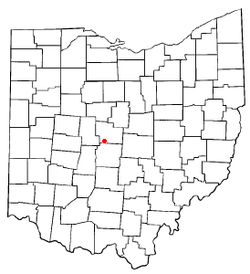
 Location of Powell in Ohio | |
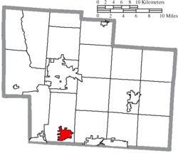
 Location of Powell in Delaware County | |
| Coordinates: 40°10′09″N 83°04′58″W / 40.16917°N 83.08278°W | |
| Country | United States |
| State | Ohio |
| County | Delaware |
| Township | Liberty |
| Founded | 1801 |
| Incorporated | 1947 |
| Government | |
| • Mayor | Tom Counts[1] |
| Area | |
| • Total | 5.82 sq mi (15.07 km2) |
| • Land | 5.82 sq mi (15.06 km2) |
| • Water | 0.00 sq mi (0.01 km2) |
| Elevation | 935 ft (285 m) |
| Population (2020) | |
| • Total | 14,163 |
| • Density | 2,435.60/sq mi (940.35/km2) |
| Time zone | UTC-5 (Eastern (EST)) |
| • Summer (DST) | UTC-4 (EDT) |
| ZIP code | 43065 |
| Area code(s) | 614, 740 |
| FIPS code | 39-64486[4] |
| GNIS feature ID | 2396264[3] |
| Website | www.cityofpowell.us |
Powell is a city in Delaware County, Ohio, United States, located 14 miles (21.5 km) north of the state capital of Columbus. Powell had an estimated population of 14,163 at the 2020 census. Founded in the early 1800s, it is now a suburb of Columbus.
- ^ "City of Powell, Ohio- City Council". May 5, 2015.
- ^ "ArcGIS REST Services Directory". United States Census Bureau. Retrieved September 20, 2022.
- ^ a b U.S. Geological Survey Geographic Names Information System: Powell, Ohio
- ^ "U.S. Census website". United States Census Bureau. Retrieved January 31, 2008.
