Ramna Thana
রমনা থানা | |
|---|---|
 Bengali New Year celebrations in Ramna Park | |
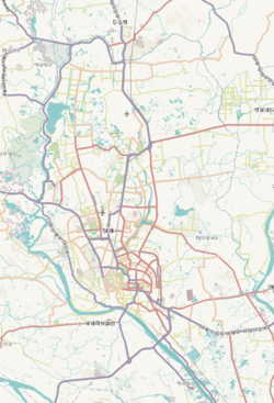
 Expandable map of vicinity of Ramna Thana | |
| Coordinates: 23°44′23″N 90°24′08″E / 23.73965°N 90.40226°E | |
| Country | |
| Division | Dhaka Division |
| District | Dhaka District |
| Formed | 1921 |
| Area | |
| • Total | 3.84 km2 (1.48 sq mi) |
| Elevation | 23 m (75 ft) |
| Population (2022) | |
| • Total | 200,436 |
| Time zone | UTC+6 (BST) |
Ramna (Bengali: রমনা) is a thana (precinct) in central Dhaka and a historic colonial neighbourhood. Once the site of Mughal gardens, it developed into an institutional area during British rule in the late 19th century. It became a focal point for Dhaka's modernisation in the 1960s. It was the scene of many tumultuous events that ushered the independence of Bangladesh in 1971. Ramna Thana falls under the jurisdiction of Dhaka South City Corporation.[not verified in body]
Ramna Thana hosts the Ramna Park (also known as Ramna Green), which is the most popular park in Dhaka. The annual parades and concerts of the Bengali New Year take place in Ramna Thana.[2]
Ramna Thana is also home to the official residences of the Bangladeshi ministers and official state guest houses, including other important establishments such as the Dhaka Club.
- ^ "Geographic coordinates of Dhaka, Bangladesh". DATEANDTIME.INFO. Retrieved 7 July 2016.
- ^ Chandan, Md Shahnawaz Khan (5 August 2016). "Dhaka's Green Heart". The Daily Star. Star Weekend. Retrieved 13 May 2024.


