Back نهر كلون ARZ Clun (Bro-Saoz) Breton River Clun CEB Afon Clun (Swydd Amwythig) Welsh 클런강 Korean River Clun Swedish
| River Clun | |
|---|---|
 The river flowing through the town of Clun, in which the historic packhorse bridge is still the only vehicle-carrying bridge. | |
| Etymology | Colun (British)[1] |
| Location | |
| Country | England, United Kingdom |
| Region | West Midlands |
| County | Shropshire, Herefordshire |
| Cities | Newcastle, Clun, Clunton, Clungunford |
| Physical characteristics | |
| Source | |
| • location | Anchor, Shropshire |
| Mouth | Confluence with River Teme |
• location | Leintwardine, Herefordshire |
• coordinates | 52°21′35″N 2°52′43″W / 52.3598°N 2.8785°W |
• elevation | 119 m (390 ft) |
| Length | 45.84[2][3][4] km (28.48 mi) |
| Basin size | 300[5] km2 (120 sq mi) |
| Discharge | |
| • location | Leintwardine |
| Basin features | |
| Tributaries | |
| • left | River Unk, River Kemp |
| • right | River Redlake |
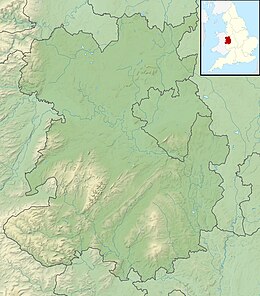
Map showing the source in Shropshire, and the mouth in Herefordshire of the River Clun
The River Clun runs mostly through Shropshire, England and joins the River Teme at Leintwardine, Herefordshire. The Clun Valley is part of the Shropshire Hills AONB (Area of Outstanding Natural Beauty).[6]
- ^ Ekwall, Eilert (1960). The concise Oxford dictionary of English place-names (4 ed.). Oxford: Clarendon Press. p. 113. ISBN 0-19-869103-3.
- ^ "Clun - source to conf Folly Bk". environment.data.gov.uk. Environment Agency. Retrieved 10 April 2017.
- ^ "Clun - conf Folly Bk to conf R Unk". environment.data.gov.uk. Environment Agency. Retrieved 10 April 2017.
- ^ "Clun - conf R Unk to conf R Teme". environment.data.gov.uk. Environment Agency. Retrieved 10 April 2017.
- ^ "River Clun SSSI/SAC" (PDF). shropshirehillsaonb.co.uk. Atkins. 29 March 2012. p. 5. Retrieved 10 April 2017.
- ^ "Map Shropshire Hills AONB". www.shropshirehillsaonb.co.uk. Retrieved 10 April 2017.
