| San Gorgonio Pass | |
|---|---|
| Banning Pass | |
 A small segment of the San Gorgonio Pass wind farm | |
| Elevation | 2,600 ft (792 m) NGVD 29[1] |
| Traversed by | |
| Location | Riverside County, California, United States |
| Range | San Bernardino Mountains / San Jacinto Mountains |
| Coordinates | 33°55′12.1″N 116°58′14.1″W / 33.920028°N 116.970583°W[1] |
| Topo map | Beaumont |
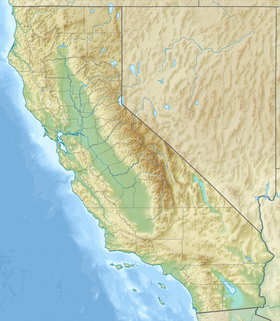
Location of San Gorgonio Pass in California | |
The San Gorgonio Pass, or Banning Pass, is a 2,600 ft (790 m) elevation[1] gap on the rim of the Great Basin between the San Bernardino Mountains to the north and the San Jacinto Mountains to the south. The pass was formed by the San Andreas Fault, a major transform fault between the Pacific plate and the North American plate that is slipping at a rate of 7.2 ±2.8 mm/year. The tall mountain ranges on either side of the pass result in the pass being a transitional zone from a Mediterranean climate west of the pass, to a Desert climate east of the pass. This also makes the pass area one of the windiest places in the United States, and why it is home to the San Gorgonio Pass wind farm.
It serves as a major transportation corridor between the Greater Los Angeles region and the Coachella Valley, and ultimately into Arizona and the United States interior. Both Interstate 10, and the Union Pacific Railroad, utilize the pass. When the rail line was completed in January 1883, by the Southern Pacific Railroad, it was billed as the second U.S. transcontinental railroad.[2]
The pass is one of the deepest mountain passes in the 48 contiguous states, with the mountains to either side rising almost 9,000 ft (2,700 m) above it. San Gorgonio Mountain, taller but farther away and less visible, is at the northern side of the pass, and Mount San Jacinto is on the southern side. Mount San Jacinto has the fifth-largest rock wall in North America, and its peak is only 6 miles (9.7 km) south of Interstate 10. The pass is also referred to as the Banning Pass due to the town of Banning being located about 6.5 miles (10.5 km) east of the pass summit.[3] The city itself was named for Phineas Banning who founded the town.
- ^ a b c "San Gorgonio Pass". Geographic Names Information System. United States Geological Survey, United States Department of the Interior. Retrieved 2010-04-04.
- ^ Lech, p. 249.
- ^ Banning, CA, 7.5 Minute Topographic Quadrangle, USGS, 1953 (1988 rev.)

