Back سيلايار (جزيرة) Arabic سيلايار ARZ Селаяр Byelorussian Salayer Catalan Pulau Selayar (pulo sa Provinsi Sulawesi Selatan) CEB Selayar German Isla Selayar Spanish Selayar French Illa Selayar Galician Pulau Selayar ID
| Geography | |
|---|---|
| Location | South East Asia |
| Coordinates | 6°0′0″S 120°30′0″E / 6.00000°S 120.50000°E |
| Area | 798.58 km2 (308.33 sq mi) |
| Administration | |
| Province | |
| Largest settlement | Benteng |
| Demographics | |
| Population | 89,993 (mid 2022 estimate) |
| Pop. density | 112.7/km2 (291.9/sq mi) |
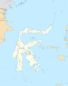
Selayar is the main island of the Selayar Islands (Kepulauan Selayar). It lies off the coast of Cape Bira of South Sulawesi Province. The Selayar Straits separate it from the mainland of Sulawesi. Its principal town is Benteng, while much smaller towns to the south are Tanabau, Padang, Tile-tile, Pariangan, Galung, Layolo, Pa'garangang, Barangbarang, to Appattanah. To the north are Parak, Barugayya, Batangmata, Onto, and finally Bonelohe. The island is over 50 miles (80 km) long and very narrow at the northern and southern ends; its area is 798.58 km2 (308.33 sq mi). Benteng is the starting point for diving tours.
