Back Seneca Creek State Park CEB Park stanowy Seneca Creek Polish Seneca Deresi Eyalet Parkı Turkish
| Seneca Creek State Park | |
|---|---|
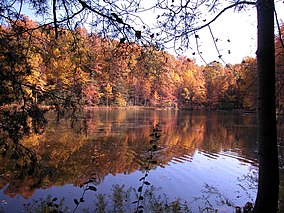
 Clopper Lake | |
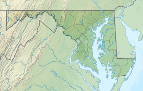
| Location | Montgomery County, Maryland, United States |
| Nearest city | Gaithersburg, Maryland |
| Coordinates | 39°08′42″N 77°15′23″W / 39.14500°N 77.25639°W |
| Area | 6,313 acres (25.55 km2)[1] |
| Elevation | 223 ft (68 m)[2] |
| Designation | Maryland state park |
| Established | 1958 |
| Administrator | Maryland Department of Natural Resources |
| Website | Seneca Creek State Park |

Seneca Creek State Park is a public recreation area encompassing more than 6,300 acres (2,500 ha) along 14 miles of Seneca Creek in its run to the Potomac River in Montgomery County, Maryland. The park features facilities for boating and fishing as well as trails for hiking, cycling, and horseback riding. It is managed by the Maryland Department of Natural Resources.[3]
- ^ Cite error: The named reference
acreagereportwas invoked but never defined (see the help page). - ^ "Seneca Creek State Park". Geographic Names Information System. United States Geological Survey, United States Department of the Interior.
- ^ Cite error: The named reference
mdnrwas invoked but never defined (see the help page).

