Back جبل ستورسكريمتين ARZ Storskrymten Catalan Storskrymten CEB Storskrymten French Storskrymten LLD Storskrymten NN Storskrymten NB 斯圖斯克呂姆滕峰 Chinese
| Storskrymten | |
|---|---|
| Highest point | |
| Elevation | 1,985 m (6,512 ft)[1] |
| Prominence | 610 m (2,000 ft)[1] |
| Isolation | 9 km (5.6 mi)[1] |
| Listing | #1 in Trøndelag county #2 in Møre og Romsdal county #5 at List of highest points of Norwegian counties |
| Coordinates | 62°22′21″N 9°03′42″E / 62.3725°N 09.0618°E[2] |
| Geography | |
| Location | Innlandet, Møre og Romsdal and Trøndelag, Norway |
| Parent range | Dovrefjell |
| Topo map | 1419 I Storskrymten |
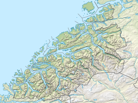
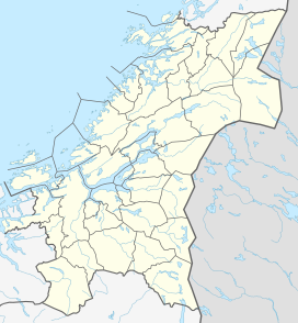
Storskrymten is a 1,985-metre (6,512 ft) tall mountain in Norway. The top of the mountain is a tripoint for three counties and three municipalities: Oppdal Municipality (Trøndelag county), Sunndal Municipality (Møre og Romsdal county), and Lesja Municipality (Innlandet county). The nearest urban areas are the village of Sunndalsøra which is located about 42 kilometres (26 mi) to the northwest, Dombås which is located about 32 kilometres (20 mi) to the south, and Oppdal which is about 40 kilometres (25 mi) to the northeast.[3]
- ^ a b c "Storskrymten". PeakVisor.com. Retrieved 8 April 2022.
- ^ "Storskrymten, Oppdal (Trøndelag)" (in Norwegian). yr.no. Retrieved 23 January 2018.
- ^ Thorsnæs, Geir, ed. (30 November 2015). "Storskrymten". Store norske leksikon (in Norwegian). Kunnskapsforlaget. Retrieved 23 January 2018.


