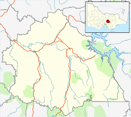
| Toolangi Victoria | |||||||||||||||
|---|---|---|---|---|---|---|---|---|---|---|---|---|---|---|---|
| Coordinates | 37°32′S 145°28′E / 37.533°S 145.467°E | ||||||||||||||
| Population | 366 (2021 census)[1] | ||||||||||||||
| Postcode(s) | 3777 | ||||||||||||||
| Elevation | 595 m (1,952 ft) | ||||||||||||||
| Location |
| ||||||||||||||
| LGA(s) | |||||||||||||||
| State electorate(s) | Eildon | ||||||||||||||
| Federal division(s) | Indi | ||||||||||||||
| |||||||||||||||
| |||||||||||||||
Toolangi is a locality in Victoria, Australia. At the 2021 census, Toolangi had a population of 366.[1] It is situated on the edge of the Toolangi State Forest.
- ^ a b "2021 Census QuickStats Toolangi". Australian Bureau of Statistics. Retrieved 16 July 2024.

