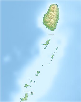
Back انيون ARZ Юніян (востраў) Byelorussian Union Island Breton Union Island (pulo sa Saint Vincent ug ang Grenadines) CEB Union Island German Γιούνιον Άιλαντ Greek Union (insulo) Esperanto Unión (isla) Spanish Union Island Finnish Union (île des Antilles) French
This article needs additional citations for verification. (November 2011) |
 Union Island International Airport from the air | |
| Geography | |
|---|---|
| Location | Caribbean Sea |
| Coordinates | 12°36′N 61°26′W / 12.600°N 61.433°W |
| Area | 3.5 sq mi (9.1 km2) |
| Length | 3 mi (5 km) |
| Width | 1 mi (2 km) |
| Highest elevation | 999 ft (304.5 m) |
| Highest point | Mount Taboi |
| Administration | |
| Largest settlement | Clifton |
| Demographics | |
| Population | ~ 3,000 (2012) |
| Languages | English, French, German |
| Additional information | |
| Time zone | |
| Official website | Travel guide of Union Island with street map of the town |

Union Island is part of the nation of Saint Vincent and the Grenadines. It has a surface of 9 square kilometres (3.5 sq mi) and lies about 200 km (120 miles) west-southwest of Barbados within view of the islands of Carriacou and the mainland of Grenada, which lies directly south.[1]
Clifton and Ashton are the two principal towns. The island is home to just under 3,000 residents.[2] The official language is English; however, French and German are spoken by some merchants in Clifton as well.
The island has an airport, Union Island Airport, with domestic flights to Saint Vincent and some of the Grenadines, as well as international flights to Barbados, Carriacou, Grenada and Martinique.
In July 2024, it was devastated by Hurricane Beryl, an extremely powerful hurricane, leaving majority of the island’s residents homeless and most of its infrastructure in ruins. [3]
- ^ (in French) Union Island (St Vincent)
- ^ "St Vincent and the Grenadines, Population and Housing Census Preliminary Report". The Census Office, SVG Government. Retrieved 31 December 2015.
- ^ "Worst hurricane ever' - Union Island resident describes Beryl destruction".


