Back شيترال Arabic شترال ARZ Chitral AST चित्राल AWA চিত্রল Bengali/Bangla Chitral CEB Čitrál Czech Chitral German Τσιτράλ Greek Chitral English
Chitral
چترال | |
|---|---|
 Ataliq bazaar | |
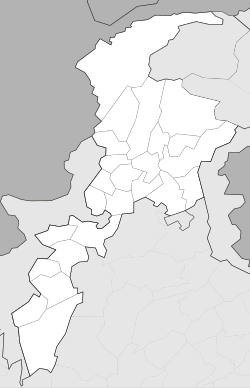
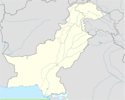
| Coordinates: 35°50′46″N 71°47′09″E / 35.84611°N 71.78583°E | |
| Country | Pakistan |
| Province | Khyber Pakhtunkhwa |
| District | Chitral District |
| Government | |
| • Body | MNA |
| • MNA (NA-32) | Moulana Abdul Akbar Chitrali (APML)[1] |
| Area | |
| • Total | 35.9 km2 (13.9 sq mi) |
| Elevation | 1,517 m (4,977 ft) |
| Languages | |
| • Official | Urdu |
| • Native | Chitrali language |
| Time zone | UTC+5 (PST) |
| PIN | 1720 |
| Website | chitral |
Chitral (Urdu: چترال, is the valley of the Chitral District in Pakistan. It is on the western bank of the Chitral River. It has a population of 20,000. Chitrali language is native language. It has total area size of 35.9 km.
- ↑ "Personal Profile". na.gov.pk. National Assembly of Pakistan. Retrieved 24 October 2023.
- ↑ https://ppaspk.org/index.php/PPAS-A/article/download/1098/647&ved=2ahUKEwivnKW2xY6CAxWOTKQEHaR_A_8QFnoECDgQAQ&usg=AOvVaw0U6E7LOxiIau4JySUVla4z
- ↑ "Geography of Chitral". Chitralnews.com. Archived from the original on 2018-10-09. Retrieved 2015-11-06.

