Back مقاطعة سييرا (كاليفورنيا) Arabic Sierra qraflığı (Kaliforniya) Azerbaijani Sierra County, Kalifornien BAR Сиера Bulgarian সিয়ের্রা কাউন্টি, ক্যালিফোর্নিয়া BPY Сьерра (гуо, Калифорни) CE Sierra County (kondado sa Tinipong Bansa, California) CEB Sierra County (Kalifornie) Czech Sierra County, Califfornia Welsh Sierra County (Californien) Danish
Sierra County, California | |
|---|---|
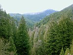
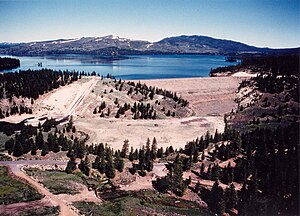
Images, from top down, left to right: Downieville, Conifer forest in the Tahoe National Forest, Stampede Dam | |
 Interactive map of Sierra County | |
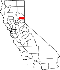
 Location in the state of California | |
| Country | |
| State | |
| Region | Sierra Nevada |
| Incorporated | April 16, 1852 |
| Named for | Sierra Nevada |
| County seat | Downieville |
| Largest city | Loyalton |
| Area | |
| • Total | 962 sq mi (2,490 km2) |
| • Land | 953 sq mi (2,470 km2) |
| • Water | 9 sq mi (20 km2) |
| Highest elevation | 8,844 ft (2,696 m) |
| Population | |
| • Total | 3,236 |
| • Density | 3.4/sq mi (1.3/km2) |
| Time zone | UTC-8 (Pacific Standard Time) |
| • Summer (DST) | UTC-7 (Pacific Daylight Time) |
| Area code | 530 |
| Website | www |
Sierra County is a county in the U.S. state of California. As of the 2020 census, the population was 3,236,[1] making it California's second-least populous county. The county seat is Downieville,[2] and the only incorporated city is Loyalton. The county is in the Sierra Nevada, northeast of Sacramento on the border with Nevada. Sierra County was founded in 1852. The county derives its name from the Sierra Nevada.
- ↑ 1.0 1.1 "QuickFacts: Sierra County, California". U.S. Census Bureau. Retrieved August 1, 2023.
- ↑ "Find a County". National Association of Counties. Retrieved 2011-06-07.


